Key Takeaways:
- Mount Manaslu is the world’s eighth-highest mountain, at 8,163 m, located in Gorkha District, Nepal.
- Manaslu usually means “mountain of the spirit”, but locals call it Kutang or Kambung.
- No one discovered Manaslu, because Nubri and Tsum communities always lived beneath it.
- Japanese teams tried from 1952, and villagers’ objections delayed the first ascent until 1956.
- Toshio Imanishi and Gyalzen Norbu Sherpa made the first ascent on 9 May 1956.
- The north-east side is the standard route, and the south-west is steep and technical.
- The true summit lies beyond the foresummit where many climbers stop short.
- Manaslu feeds four big glaciers: Manaslu, Pungyen, Hinang and Thulagi.
- Glaciers on Manaslu thinned faster, at 0.99 m a year from 2000 to 2013. A clear sign of climate change!
- Lho, Samagaun, Pungen Gumba, and Birendra Lake give close views, and Sarangkot can show it from afar.
- Locals see the area as Beyul Kyimolung, a hidden valley with protected wildlife.
- Autumn is the main climbing season, and its royalty is USD 3,000, double spring’s.
- Manaslu is an Everest warm-up with a standard route straightforward in good conditions.
- Avalanches cause nearly half of Manaslu deaths, including two at Camp 3 in 2026.
- Foreign climbers are required to pay a USD 3,000 autumn royalty, plus a USD 3,000 garbage deposit. Fees vary by nationality and season.
- Trekkers need a Restricted Area Permit, and single trekkers are now allowed to apply since March 2026 (but a guide remains mandatory).
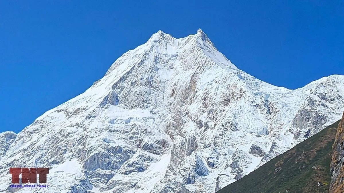
Mount Manaslu is the eighth-highest mountain on Earth at 8,163 m and the highest peak in Gorkha District. It sits in the Mansiri Himal range in west-central Nepal, roughly 64 km east of Annapurna.
Most travellers meet it from the ground on the Manaslu Circuit, where the mountain keeps changing shape as the trail wraps around it. Climbers know it as the most popular 8,000 m peak of the autumn season!
This article explains the name, the discovery, the first ascent, the faces, the summit problem, the glaciers, the climate research, the avalanche record, the 2026 season, and what its expedition costs are!
Key Facts About Mount Manaslu
| Height | 8,163 m (26,781 ft) |
| Range | Mansiri Himal (also called Manaslu Himal or the Gurkha Massif) |
| Location | Gorkha District (bordering Manang), Gandaki Province |
| Coordinates | 28.5494° N, 84.5619° E |
| Other names | Kutang (local), Kambung (Sama villagers), Gangri Pungyen (Tibetan text) |
| First ascent | 9 May 1956, Toshio Imanishi and Gyalzen Norbu Sherpa, Japanese Alpine Club expedition led by Yuko Maki |
| First winter ascent | 12 January 1984, Maciej Berbeka and Ryszard Gajewski |
| Standard route | Northeast side, via the Manaslu Glacier and Camps 1 to 4 |
| Protected area | Manaslu Conservation Area (restricted area) |
What Does the Name “Manaslu” Mean?
Manaslu is usually explained as “mountain of the spirit“, from the Sanskrit word manasa, meaning intellect or soul. That is the common reading, though it is a later Sanskritised name rather than the one used by the valley’s own people.
Local names are older! Some call it Kutang, where tang is the Tibetan word for a flat place, a likely reference to the broad summit plateau seen from the north.
Sama villagers told the 1956 Japanese team that the mountain is Kambung, a deity who controls their crops.
Likewise, a prayer text by Tulku Urgyen Rinpoche calls it Gangri Pungyen, “Ornamented Heap Mountain“, and describes it as the home of the local protector deity. In fact, the famous Pungyen Gompa (or Pungen Gumba) takes its name from the same word!
Who Discovered Manaslu?
No single person discovered Manaslu. The Nubri and Tsum communities lived under it for centuries!
For the outside world, the story starts in 1950, when Nepal opened to foreigners. H. W. Tilman‘s party was exploring the Annapurna range and saw Manaslu from the Dudh Khola area.
Later, that year, Tilman and Major J. O. M. Roberts reached Larkya La and judged that a route to the summit plateau existed. The Japanese Alpine Club wrote in 1957 that all it knew of the mountain in 1952 was one photograph taken by Tilman!
How Japan Came to Climb the Mountain First?
Long before modern commercial expeditions crowded its slopes, Manaslu became the focus of intense international ambition in the early 1950s.
Blocked initially by cautious local communities and a lack of precise maps, the Japanese Alpine Club methodically mapped, negotiated, and prepared over several years to claim the mountain’s first official ascent. Here’s the complete account:
- 1952: A five-member Japanese reconnaissance party reached the north side and decided the glacier on the east side was the best way up.
- 1953: A 15-climber team under Yukio Mita built base camp at about 3,840 m. Three climbers turned back near 7,750 m, about 370 m below the summit, for lack of oxygen.
- 1954: Villagers at Samagaun stopped the next team, saying the previous expedition had profaned the mountain. The team had to switch to Ganesh Himal!
- 1955: Japanese negotiators settled the dispute with the Nepal government, and an advance party scouted the route.
- 1956: Maki, then 62, led a 12-member team with 20 Sherpas. They reached Samagaun on 26 March, after a smoother negotiation with villagers, and set up base camp at about 3,840 m.
The villagers’ objection mattered. They said an avalanche had destroyed their gompa because an earlier Japanese expedition had violated the mountain’s sanctity!
Who Climbed Mount Manaslu First?
Toshio Imanishi and Gyalzen Norbu, the team’s Sherpa sirdar, stood on top on 9 May 1956, with Kiichiro Kato and Minoru Higeta following on 11 May.
The team used oxygen and six camps. Camp VI was on the summit plateau at about 7,800 m. The account says the summit is a knife-edge, with a deep gap that Imanishi crossed by descending a gully before climbing again.
Gyalzen Norbu had already climbed Mount Makalu with a French team in 1955, so he became the first person to summit two 8,000 m peaks. Even today, Nepal marks 9 May each year as Manaslu Himal Aarohan Diwas.
Later milestones are somewhat like this:
- 1971: Second ascent by a Japanese team.
- 1972: Reinhold Messner on the south-west face.
- 1974: The first women’s group on any 8,000 m peak, a Japanese team including Naoko Nakaseko, Masako Uchida, Mieko Mori and Jambu Sherpa.
- 1984: The first winter ascent by two Poles.
The Four Faces of Mt. Manaslu
The mountain is easier to understand by compass, though its label faces slightly differently:
- North and North-East: This is the normal side! The first ascent route runs up the glacier to the Naike Col, over the plateau, then the Snow Apron to the summit area. Modern commercial teams still use the northeast side, with Camp 3 near 6,700 to 6,800 m below hanging ice on the North Ridge.
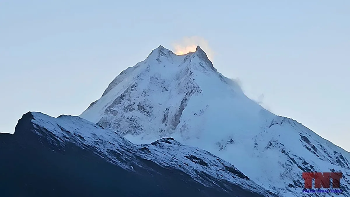
- East: Long glaciers fall from this side! Pungyen Glacier flows east, and Hinang Glacier flows south-east. Kukuczka, Hajzer and Carsolio climbed the east summit in 1986.
- South and South-West: Steep and technical side of Manaslu. The 1972 Austrian expedition with Messner climbed here, and Thulagi Glacier lies at the south-west foot.
- West and North-West: The 1952 scouts found the western approach blocked by a wall of about 4,500 m and abandoned it. The Japanese climbed a north-west spur in 1971.
Why Manaslu Has Two Summits and A Fore Summit?
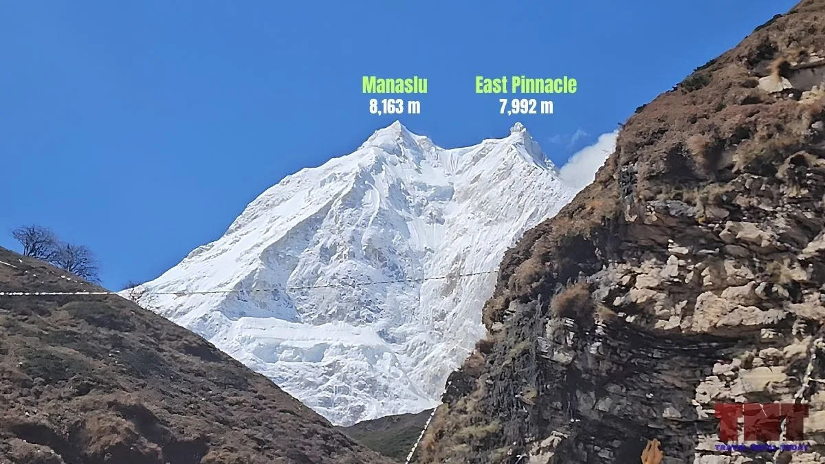
From a village called Lho, the mountain shows a double summit. The lower eastern top can look taller because of foreshortening. That is the visual “two pinnacles” most trekkers mean!
A second, more serious pair exists near the top. Climbers following the fixed ropes often stop at a foresummit, called C2.
In the American Alpine Journal, Damien Gildea writes that the “true” summit lies roughly 20 m horizontally and 3 to 6 m vertically beyond that point.
Researcher Eberhard Jurgalski first noticed in 2007 that climbers were stopping short of the 1956 high point.
In autumn 2021, Mingma Gyalje Sherpa‘s team fixed ropes to the true summit on 27 September, and the Himalayan Database now treats that point as the benchmark!
The Mansiri Himal and Neighbouring Peaks
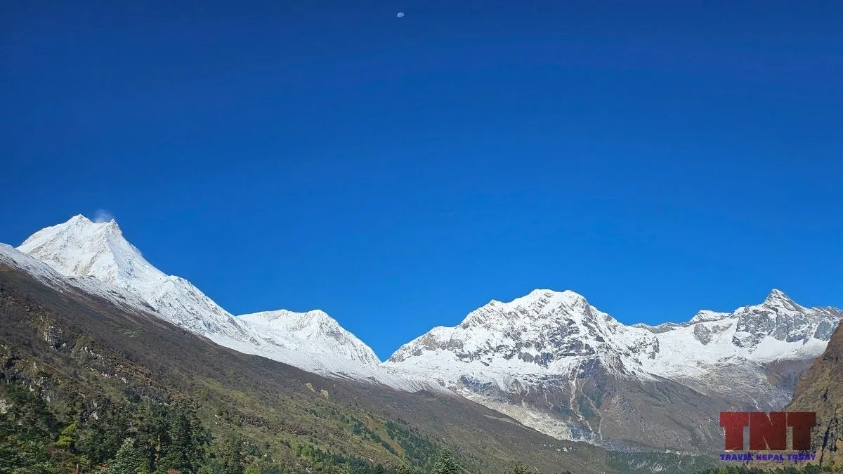
The Mansiri Himal lies between the Budhi Gandaki on the east and the Marsyangdi on the west. It rises about 7,000 m above the Marsyangdi valley floor in under 30 km.
Its prominent neighbours include:
| Peak | Height | Note |
| Himalchuli | 7,893 m | 18th highest peak by prominence, three main tops |
| Ngadi Chuli (Peak 29) | 7,871 m | Climbed once or twice; probable first ascent 1970 |
| Shringi Himal | 7,187 m | On the Tsum side |
| Baudha | 6,672 m | Part of the enclosing wall of the Nubri Valley |
| Thulagi Chuli | 7,059 m | First ascent in 2015 |
Further from Manaslu, Larkya Peak, Cheo Himal, Himlung Himal and Kang Guru show up from the Larke Pass, with the Annapurna range beyond.
Glaciers of Manaslu
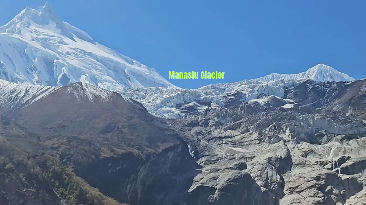
Manaslu is mostly pale leucogranite. Geologists date the Manaslu leucogranite to about 24 to 19 million years ago, when melting deep in the crust pushed up granite during the Himalayan collision.
Moreover, Mt. Manaslu feeds several large glaciers:
- Manaslu Glacier: Drops from the summit region down the north-east side. The 1957 account describes an upper icefall about 900 m high and a lower icefall, ending in moraine lakes at about 3,720 m. Birendra Lake sits at this end.
- Pungyen (Punggeon) Glacier: Flows east. The satellite study calls it very bottom-heavy and among the faster thinning glaciers.
- Hinang Glacier: Flows south-east from Manaslu.
- Thulagi Glacier: At the south-west foot, about 27 km² and ending near Dona (Thulagi) Lake.
- Ponkar Glacier: Flows south from Himlung, not from Manaslu itself.
Meltwater drains to the Budhi Gandaki on the east and to the Marsyangdi on the west, both tributaries of the Gandaki system.
What Climate Change is Doing to Manaslu’s Ice?
A 2018 study by researchers at the University of Bergen and others examined 41 glaciers in the region.
Between 1999 and 2013, total glacier area fell 8.2% and ice lowered by about 0.25 m a year on average. Glaciers on Manaslu itself thinned faster, at 0.99 m a year from 2000 to 2013 compared with 0.46 m a year from 1970 to 2000.
Ice on the Tibetan side of the divide was closer to balance! Thulagi Glacier retreated 1.37 km between 1970 and 2013, and Dona Lake grew from 0.50 to 0.93 km².
A 2025 Springer study reports Manaslu Glacier shrinking at 0.72 km² a year between 1990 and 2024, while Birendra Lake grew at 0.23 km² a year.
A separate GLOF model of Birendra Lake found the lake grew from 0.09 to 0.22 km² from 1988 to 2024 and that hanging ice above can drop small avalanches into it. The numbers come from remote sensing, so treat them as estimates, not measurements on the ice.
Where to See Mount Manaslu From?
While Manaslu’s true majesty is best appreciated up close on foot, its massive 8,163-meter profile dominates the horizon from several surprising vantage points across Nepal.
Whether you are tracking its shifting angles along the remote trekking trail or catching a distant glimpse from valley hillsides on a crystal-clear morning, the mountain offers stunning views from both high altitude and afar.
On the Manaslu Circuit
The view changes with each step because the trail wraps around the mountain:
- Lho: Most trekkers report the first clear view here, with the double summit above barley fields.
- Shyala: The village sits in a ring of peaks.
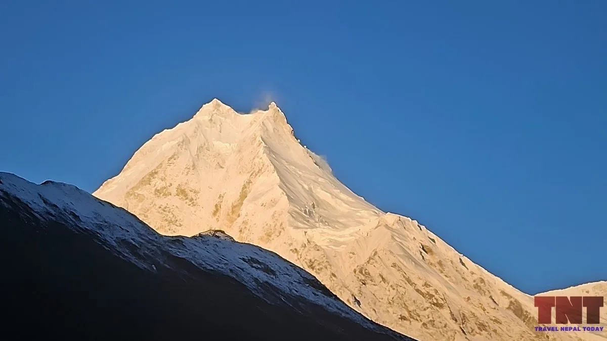
- Pungyen Gompa (Pungen Gumba): A side hike from Shyala or Samagaun that puts you close to hanging ice and Manaslu Glacier.
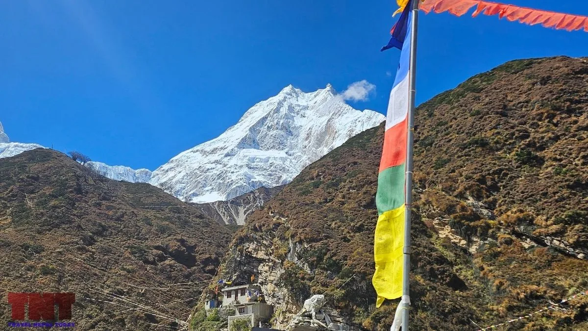
- Samagaun: Sunrise on the peak is the main draw! This is the usual acclimatisation base when opting for the Manaslu Circuit Trek.
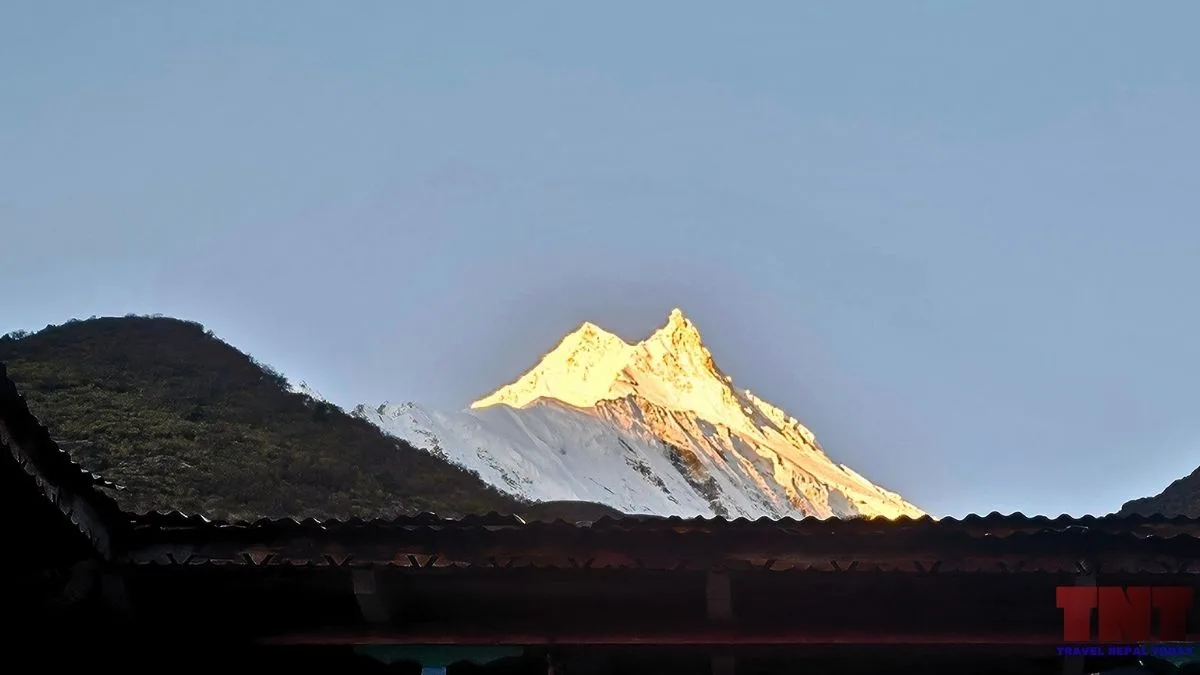
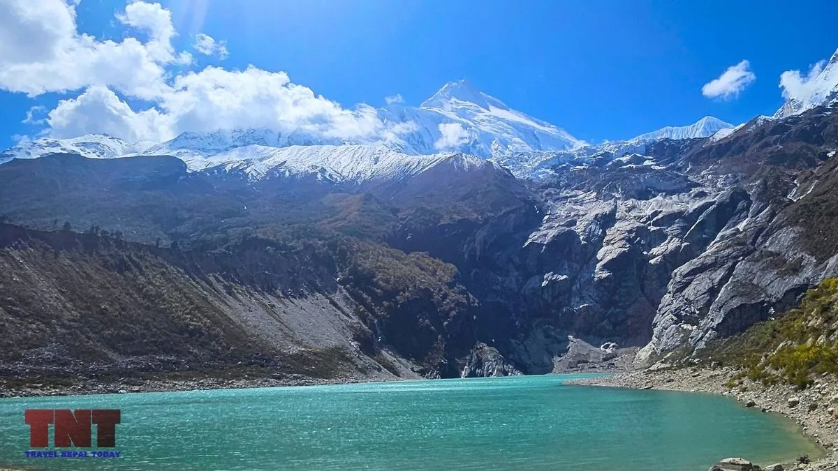
- Birendra Lake: A short walk from Samagaun takes you here. On a calm morning to early afternoon, the mountain reflects in the water.
- Samdo and Dharmashala: The angle rotates toward the north and the border ridges, with Samdo Peak in view.
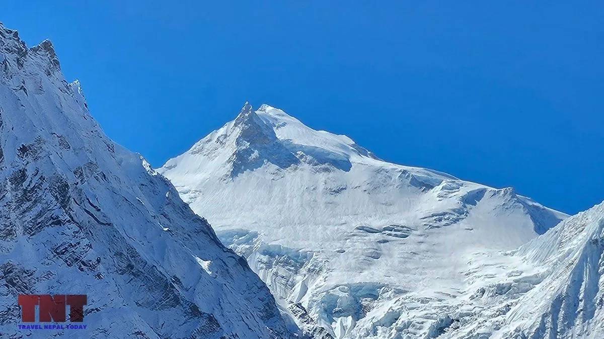
- Bhimthang: After the pass, Manaslu appears from the west side with a different profile than at Shyala.
Far Views of the Eighth-Highest Mountain
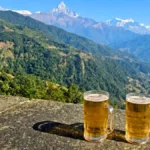
Manaslu is visible from Sarangkot above Pokhara, where it appears on the eastern horizon beyond the Annapurna range.
It can also be seen from hills around Kathmandu (near Kirtipur and Bhaktapur) after storms and cold fronts clear the haze, from Kirtipur and Bhaktapur. Gorkha Durbar, Manakamana and Bandipur also face it in clear weather.
Manaslu As a Sacred Mountain
Nubri people treat Kutang and Nubri as part of Beyul Kyimolung, one of the hidden valleys said to be blessed by Guru Rinpoche.
A Tribhuvan University thesis says local wildlife is treated as protector deities here.
And the National Trust for Nature Conservation says the valley follows a 1921 pledge called shayagya, which bans hunting and harming wildlife.
Other tips for all visitors: you should walk clockwise around mani walls, ask before photographing people or sacred monuments, and keep meat away from monastery grounds.
Why Climbing Season Starts Earlier Than on Other Peaks?
Manaslu’s main commercial season is autumn, not spring.
The Department of Tourism‘s royalty schedule makes this official. The fee for autumn is $3,000, double the spring fee.
This is because of one big reason: popular guiding companies (like Himalayan Ecstasy Nepal) are busy on Everest in spring, so they use Manaslu in autumn to prepare clients, though autumn brings deeper snow and larger cornices on the final ridge!
Manaslu is Used as Practice for Everest
Manaslu is high enough to need acclimatization, oxygen decisions and fixed-rope skills, but the standard line is considered straightforward in good conditions.
Several top companies pitch it as a step before Everest, and this is a growing pattern!
Avalanches and the Worst Days on Manaslu
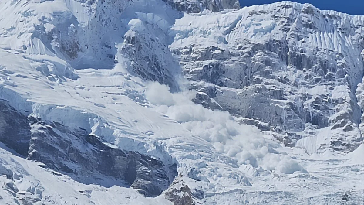
Avalanches in Mt. Manaslu account for nearly half of all deaths! Here are the most devastating ones:
- April 1972: A camp at 6,500 m on the north-east side was hit and 15 people died, mostly Sherpas.
- September 23, 2012: A serac fall at about 7,500 m triggered an avalanche that killed 11 people at Camp 3.
- September 26, 2022: An avalanche near Camp 4 killed guide Anup Rai, and ski mountaineer Hilaree Nelson died the same day in a separate fall.
- September 20, 2026: A heavy snow slab avalanche struck Camp 3 (6,800 m), burying a tent under two meters of snow and killing 2 people: Indian-German climber Dhruba Jyoti Guha and Nepali Sherpa guide Phursemba Sherpa.
The 2026 numbers are unusual. The Department of Tourism issued 500 permits and collected Rs 225.86 million from Manaslu by 8 October.
The ropes reached the summit on 17 September, but an avalanche on 16 September had already buried part of the line. A Singaporean climber died on 17 September while acclimatising.
On the night of 20 September, an avalanche at Camp 3 killed climber Dhrubajyoti Guha and guide Phursemba Sherpa. A porter had died earlier at base camp!
With a Bay of Bengal storm arriving, outfitters called off expeditions, and by 30 September, the season was over.
Manaslu Expedition Permit, Royalty and Other Costs
The Department of Tourism‘s mountaineering fee page, effective 1 September 2025, lists these foreign-climber royalties per person for Mount Manaslu expedition:
| Season | Manaslu Royalty |
| Autumn (Sep to Nov) | USD 3,000 |
| Spring (Mar to May) | USD 1,500 |
| Winter or summer | USD 1,500 |
Teams must also deposit USD 3,000 for garbage management on mountains above 8,000 m, other than Everest. Manaslu also counts here!
For Nepali climbers, the fees are as follows: NPR 25,000 in autumn, NPR 50,000 in spring, and NPR 12,500 for winter/summer.
Royalty is only one cost, and operators set the price of the full expedition separately. So, it’s better to consult them as there are other costs that creeps in!
Permits for Trekkers?
For the Manaslu Circuit Trek, you need the following permits and going through a trekking agency is a must:
- A Restricted Area Permit (RAP): USD 100 for the first 7 days in September to November, followed by USD 15 a day, USD 75 and USD 10 from December to August.
- Manaslu and Annapurna Conservation Area Permits: NPR 3,000 each for the respective conservation areas for non-SAARC nationals, while SAARC nationals only need to pay NPR 1,000.
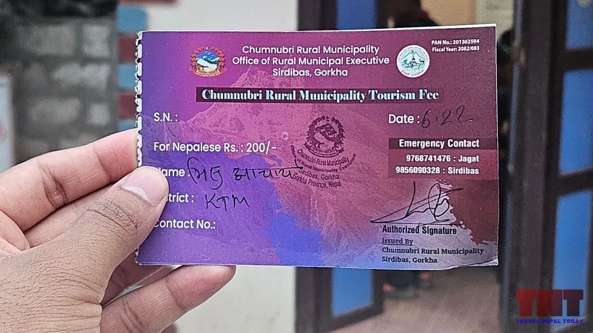
- Chumnubri Rural Municipality Fee: While the above two are not required for Nepalese, all trekkers are required to pay this local rural municipality fee. It costs NPR 1000 for all foreign nationals and NPR 200 for Nepalese.
Previously, trekking in Manaslu Conservation Area required at least two people in order to apply for the restricted area permit. But since 22 March 2026, a single trekker can apply through a registered agency with a licensed guide, with a limit of seven trekkers per guide.
Final Thoughts
Manaslu is often sold as the friendly 8,000 m peak, and I understand why. In good conditions, the standard route is straightforward, the season comes neatly packaged, and companies use it as practice before Everest.
But look at the dates in the avalanche section again! Three of the four disasters listed fell between September 19 and 26, in 2012, 2022 and 2026. I would not build a forecast on four events, yet it matches what this article already says about autumn: deeper snow, larger cornices on the final ridge, and a season that opens just as the monsoon is clearing.
But we have also explained why September isn’t the peak season in Nepal anymore. So, even if you’re planning for the Manaslu expedition in autumn, October would be the better time!
And remember whose mountain this is! In 1954, the villagers of Samagaun stopped a Japanese team, saying the mountain had been profaned. Whatever its Sanskrit name means, for the Nubri and Tsum, it is Kutang and Kambung, the home of a protector deity!
About The Author